Annual Winners - GIS Certification Institute Map Contest
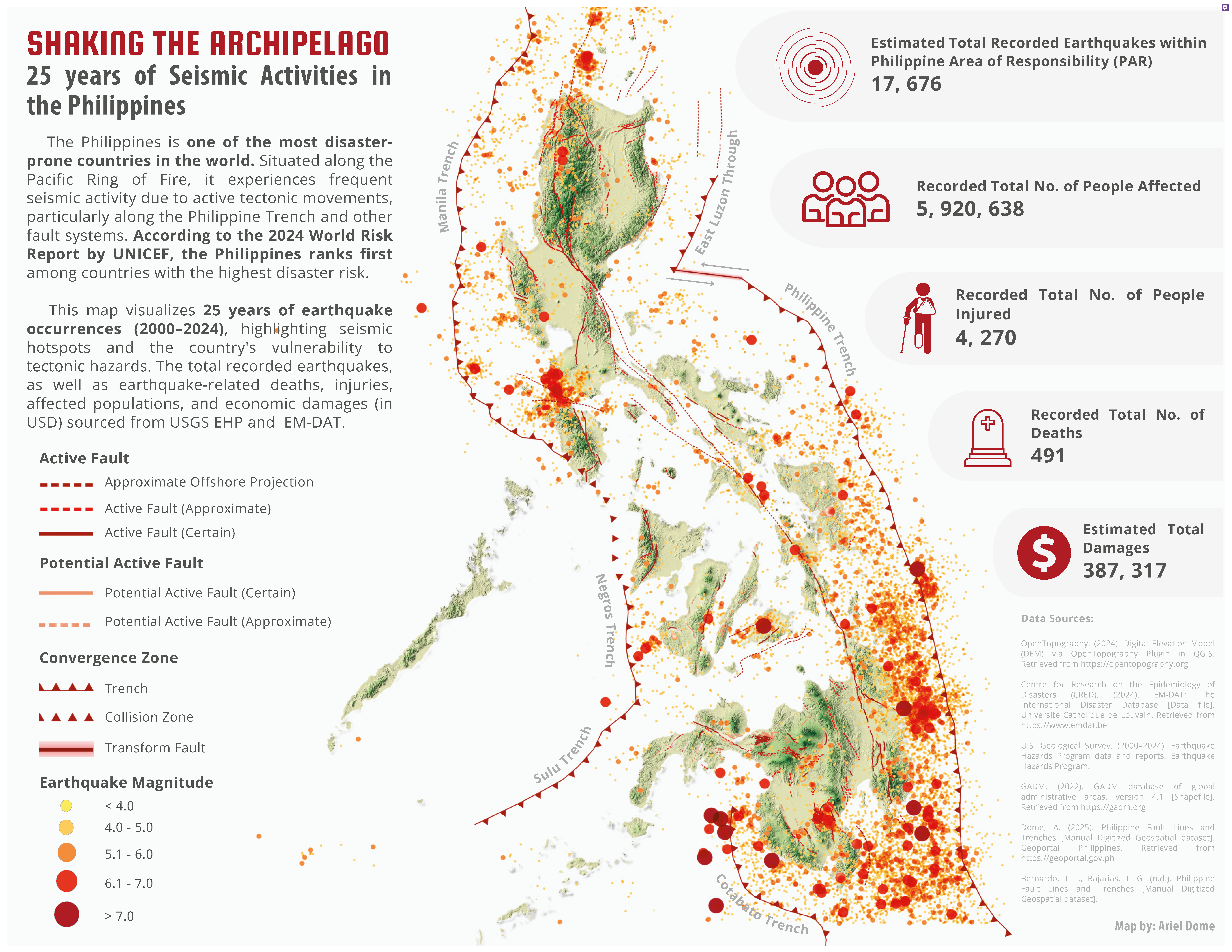
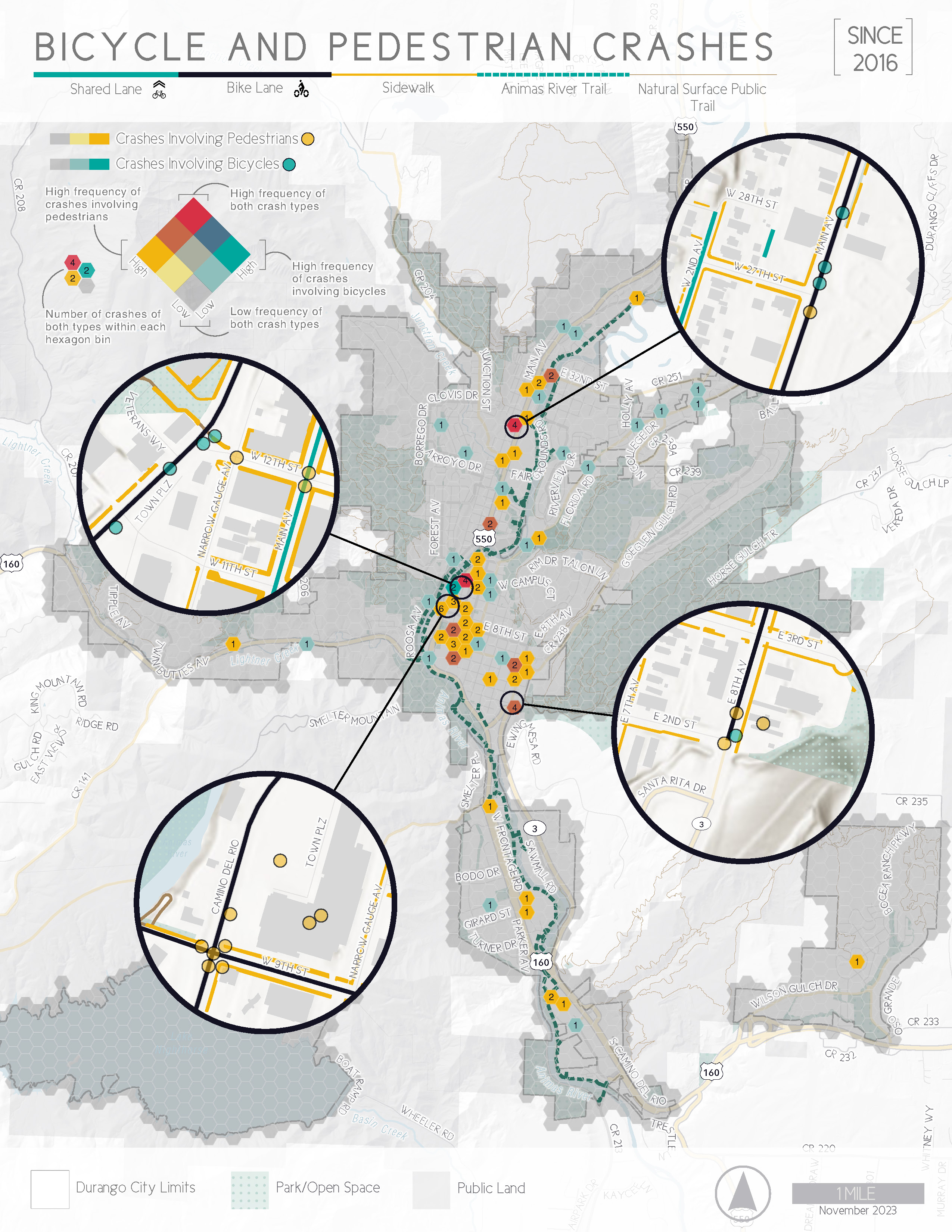
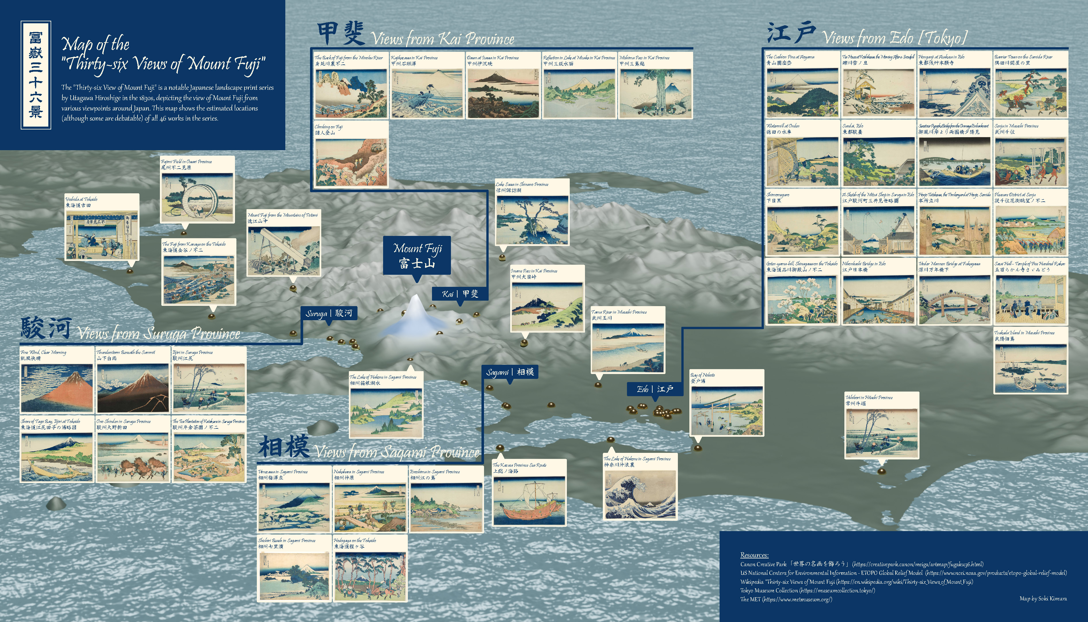
Since 2012, GISCI has hosted an annual map competition inviting members of the GIS community to submit and share a map of their creation. Check out previous year themes and winners below!
2025


Professional Category:
Student Category:
2024


Professional Category:
Student Category:
2023
Professional Category:
Student Category:
2022
Professional Category:
Student Category:
2021
Professional Category:
Student Category:
2020
Theme: No theme, topic & style up to entrants
2019
Theme: Create a GISP location map
2018
Theme: None – topic & style up to each entrant
2017
Theme: Disaster response. The challenge is to develop a map which shows us how GIS could be, or has been used in a disaster response scenario, either real or imagined. Maps could show disaster preparation; use of GIS during a disaster to manage emergencies, people, supplies, etc.; or use of GIS during post-disaster recovery efforts.
2016
Theme: This year, we chose to focus on change. The challenge is to utilize the National Land Cover Database (NLCD) to tell a story about change. Perhaps it will be about habitat loss, or maybe it will be about urban growth - whatever story you choose to tell, it must be supported by analysis of two or more years in NLCD and you must include the numbers in the map. We’ve seen a lot of pretty maps over the years; now we want to see some hard-hitting analysis to support the pretty picture.
2015
Theme: None – topic & style up to each entrant
2014
Theme: Produce a high quality map of a portion of the U.S. National Bridge Inventory (NBI). This required parsing, geocoding ASCII files in which the NBI is stored, as well as producing of a quality map which could be viewed on the web.